…In The Glorious Sunshine.
In my last article you may remember I was grumbling about the un-forecast cloudy and gloomy weather in Phatthalung Province. Meanwhile, Songkhla, where I spent two nights plus one and two bits of days, was just as advertised. Spectacular.
I headed first, on the afternoon of Day 1 of my trip, to Hat Yai Park. I can’t quite figure just how big this place is because Google Maps doesn’t show the boundaries, but it’s roughly square and seems to be about 3kms across. But it could be much bigger. It also has some pretty-high hills, with statues on top. The statues were what I’d planned to photograph.
Google Maps said it was closed. That can’t be right, I thought. How can you close something that large? Simple really. You build a wall around it, provide only two entrance points, put gates across both, and padlock them. Add Hat Yai Park to the list of places to go next time.
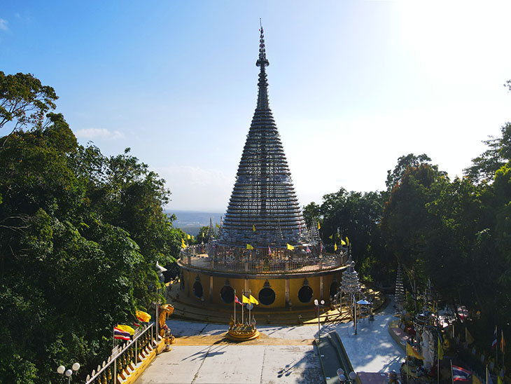
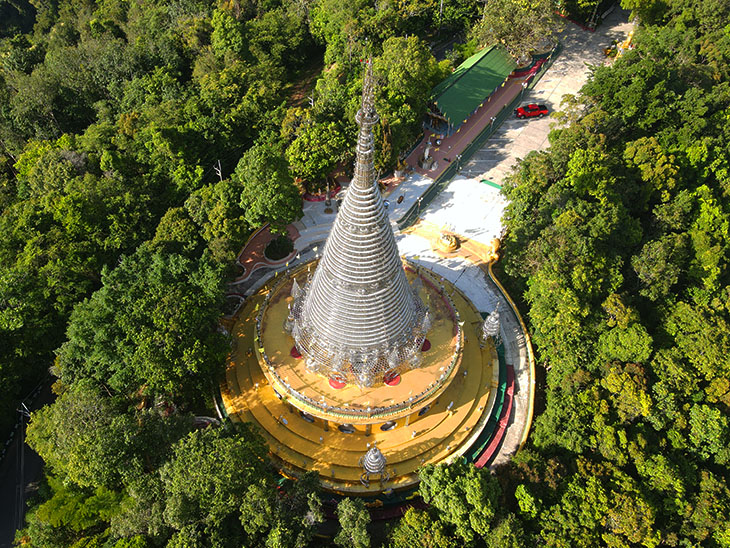
So I headed to the tongue-twisting temple Phra Maha Chedi Tripob Trimongkol. Better known as the steel chedi. It’s nearby Hat Yai Park and I was concerned it may too be closed. However; having been before, I’d found a place adjacent to, but outside the temple compound, from where I figured I could easily fly. I needn’t have bothered. The temple was both open and deserted, so the parking lot provided a perfect take-off pad…
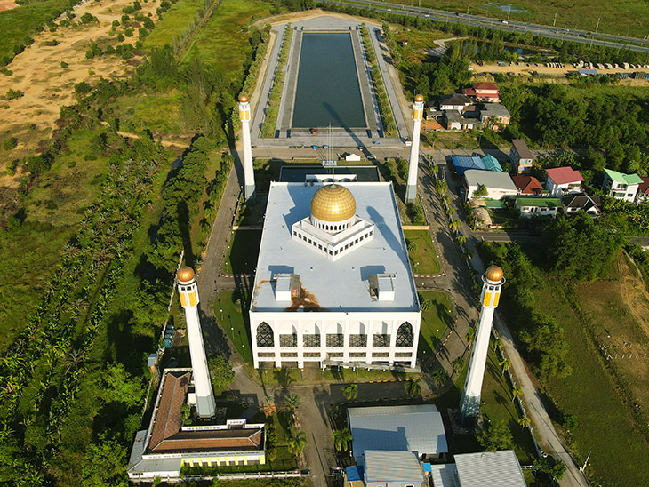
Next, I quickly converted from Buddhism to Islam and headed to the Central Mosque of Songkhla. I’ve taken photos here a few times, but there’s always new angles. This time I took shots from behind the mosque looking out over the Taj Mahal-style lake…
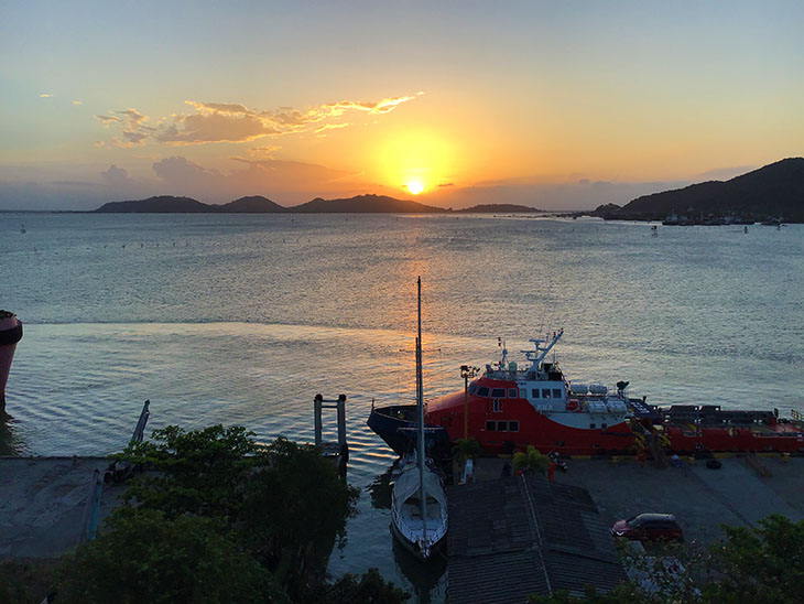
And that was it for Day 1. I rushed off to catch the sunset over the lake…
 I was out early on Day 2 because I wanted to use the morning light at the Songkhla National Museum. The gods of technology had other ideas.
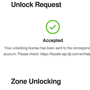
You see most of downtown Songkhla is wrapped around Songkhla Airport, and certain parts of that are of course designated No Fly Zones. However; those not directly under the flight path are called Authorization Zones. That means, if you promise to cut off your right arm should something go wrong, you may – or may not – be able to get the needed authorization. Naturally, I’m exaggerating a little. But only a little. Anyways, applying is something you can – and should – do in advance of visiting. I had. And I was authorized.
Ah, but there’s a gotcha. Before you can take off, that authorization has to be verified, on site. Which means having an internet connection. Which means remembering to top up your SIM card. Which means having an internet connection. Sigh.
As it happens, the sun was absolutely not where I wanted it to be, so I figured the SIM card would get topped up at some point during the day – it was – and I would go back – I did…
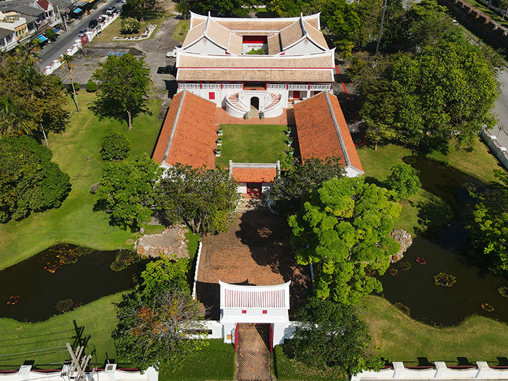
See how lucky you are? It took me a whole day to get that shot, and you only had to wait thirty seconds!
While I was there I flew back from the museum and out over the lake…
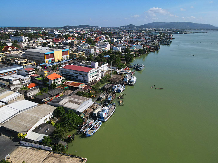
I was limited to a height of 60 meters due to the airport, but it was okay. And – nothing went wrong and no limbs were lost in the taking of these photographs.
Anyhoo, having established the fact I wasn’t going to get Museum shots that morning, I drove westwards out of the city to the southern bridge leading to the island of Ko Yo. The name of the bridge is the Tinsulanonda Bridge, but then, so is the bridge that leads from the north end of the island. So I prefer to call them southern and northern.
Next to the southern bridge is Wat Leam Pho, well known for its reclining Buddha…
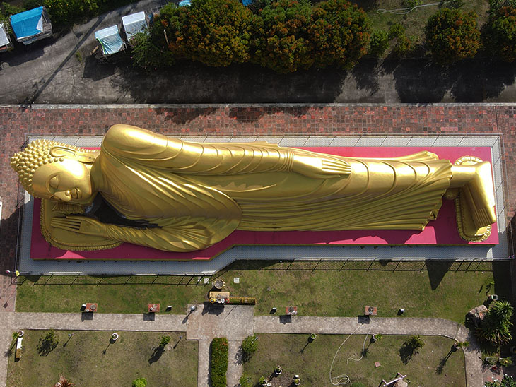
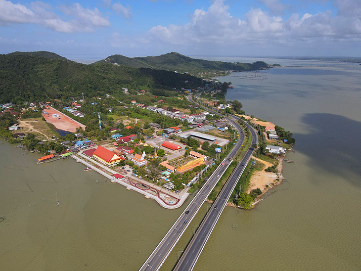
It’s a good place to get shots of the wat, the bridges and most of the island.
I didn’t want to wake him up with the drone noise, so I scooted across the island to Wat Thai Yo. No Buddhas to disturb but some nice shots from out over the lake…
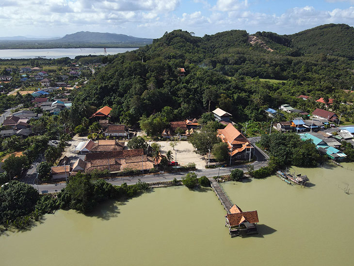
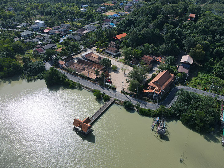
From there it was off to the top of the island to find a restaurant I’d earmarked for lunch. But due to my change of plans it was only 10am and the place wasn’t even open. So here’s a few shots from someplace near the restaurant…
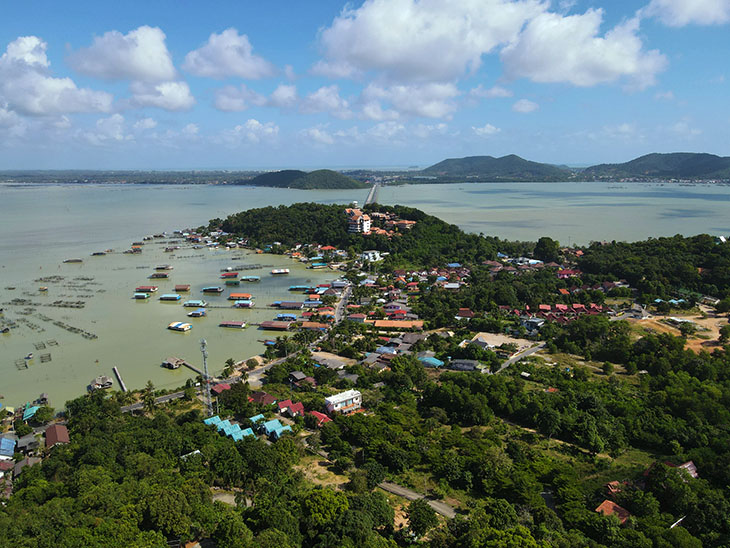
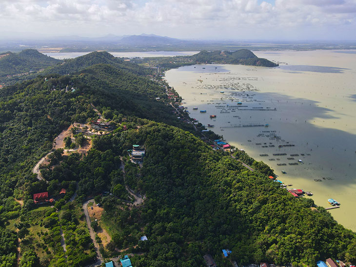
And then I went off to get photos of the The Institute for Southern Thai Studies and the northern bridge…
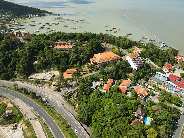
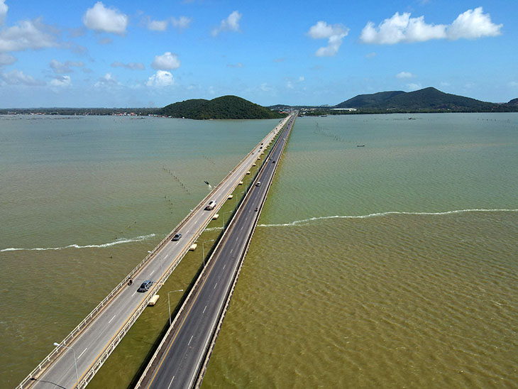
Same-same but different, as they say around here.
I was supposed to get aerial shots of the fishing villages back on the mainland, but that’s when the technogotcha kicked in again and I found myself back in the Authorization Zone. It seemed like the best thing was to get back to the hotel, get the SIM card topped up, and head back to the National Museum, which is when I took the above photo.
After that I just wandered around the old town enjoying being in one of my favorite places.
 So, not a perfect trip as I have to go back to Phatthalung Province, but not too bad.


