No, I don’t think there is a person named Thale Mok, although it’s possible. But rather, it’s a place, some forty kilometers or so up into the hills, west of a town called Tha Sala, not far from here … and it has a lookout.
Having started to hunt for places of interest in my vicinity, I quickly realized there is a lot to see, and almost all of it seems to be a big secret. Google Earth and Google Maps sort-of hint that there might be something worth seeing, by showing a few words like – well – Thale Mok Lookout. But what is it? What’s there? What do you look out at? About the only way to know is to go there and find out.
So, armed with a mental image of the roads in the area, plus my trusty GPS app Sygic, I headed south in search of the correct road that went west into the mountains. Unfortunately it’s not possible to get anywhere near the top of the mountain range that runs down the center of the isthmus. There just aren’t any roads. The lookout is on the edge of the Khao Luang National Park, which covers almost 600 sq.kms. The main peak is about 1800m high, but to get there needs a four-day hike. That’s not for me. I like to go places on four wheels.
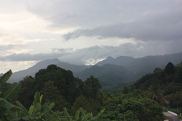
The road wasn’t hard to find. Just an average two-lane blacktop that wound through a few villages, and eventually started going up hill. As I soon discovered though, the weather in the hills can be very different than near the coast. Whereas I left in bright sunshine, on what I though was a perfect afternoon, I quickly found myself in heavy cloud, with the possibility of rain.
Luckily it wasn’t too bad, and there were some clear patches, which gave way to some very pleasant mountain scenery. I concluded too late that it’s probably best to go in the morning before the humidity rises and produces clouds. Next time.
A little over an hour from home, and while climbing a fairly steep hill, I saw an old rusted sign to the lookout. This took me onto a narrow concrete road, where, in places, the ground beneath had been washed out. Would it take the weight of my rented Honda City? There was only one way to find out! I didn’t slide down the mountain-side so apparently it would. Twice. There and back.
Then, near some deserted and abandoned concrete buildings, which I suspect might have been intended as a primitive resort, the road stopped. After this, it was an even narrower and steeper gravel track which lead some 500 meters up to the place where there was a view. Eventually I will buy myself a 4WD pick up truck, which would have handled the road quite easily, but I wasn’t about to attempt it in the 2WD City. So, legs and feet were put into action.
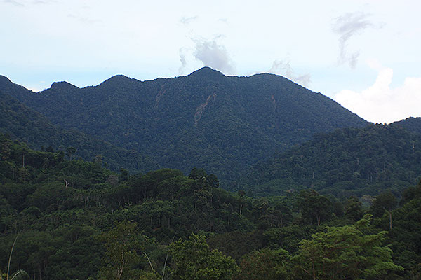
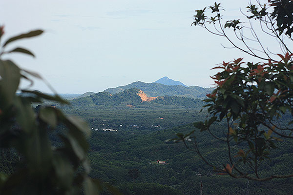
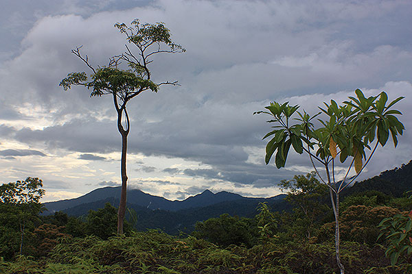
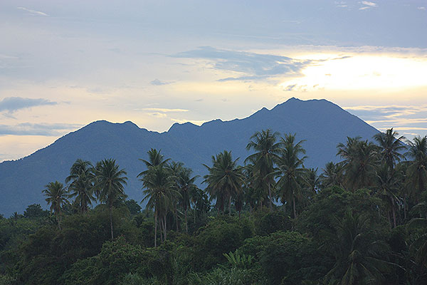
 Was it worth the hike? Well, you be the judge. There is some nice scenery, but it certainly would have been better with clear weather and sunshine. I think on a really clear day it’s possible to see the sea, but I had to use a little imagination.
That wasn’t quite the end of the trip…
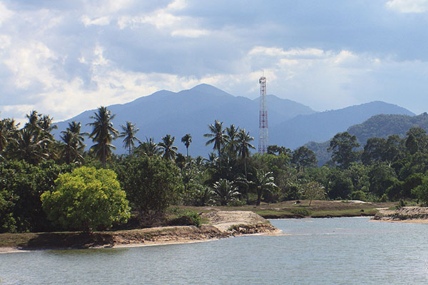
After executing a 73-point turn on the narrow concrete road, I discovered that the two-lane road continues up hill where more rusted tourist signs indicate rapids, caves and waterfalls, so I continued with it. But after many kilometers, I had crossed several river bridges and noticed the rivers had almost no water. “Okay” I thought, “this is the dry season. There’s no water in the rivers so how are you going to see rapids and waterfalls?” So, reluctantly I headed back.
A nice peaceful area though with pleasant scenery. I shall return… after it’s rained. A lot.